

Drone Analysis with Drone2Map and ArcGIS Online

Drone Analysis with Drone2Map and ArcGIS Online
Released/Updated: 09/05/2025
Duration: 1h 44m 30s | .MP4 1280x720, 30 fps(r) | AAC, 48000 Hz, 2ch | 2.35 GB
Genre: eLearning | Language: English
Released/Updated: 09/05/2025
Duration: 1h 44m 30s | .MP4 1280x720, 30 fps(r) | AAC, 48000 Hz, 2ch | 2.35 GB
Genre: eLearning | Language: English
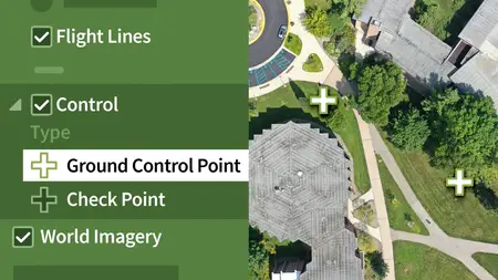
In this course, cartography expert Jason VanHorn dives into the transformative world of drone imagery and geotechnologies. Learn how to process drone data into stunning 2D and 3D visuals using ArcGIS Drone to Map and ArcGIS Online, focusing on ortho photo creation and high-resolution GPS-grounded models. Discover how to use ground control points, manage drone licenses, and understand the ribbon interface to optimize your project workflows. Explore ways to convert raw drone data into polished products like true ortho mosaics, DSMs, DTMs, and realistic 3D meshes. Enhance your skills with hands-on exercises and challenges that make your learning journey exciting and fruitful. With drone technology advancing rapidly, this course ensures you're equipped with cutting-edge skills to elevate your professional portfolio.
More Info